Tharston, The Village
by Paul Cattermole
Chapter 5: The Commons
Common land, technically wasteland belonging to the lord of the manor, was an essential resource, especially for the poorer tenants. Like most villages in south Norfolk, Tharston had large areas of common land on high ground in the centre of the village, which provided grazing for perhaps six months of the year, while lush common pastures in the river valleys were used for a shorter period. The use of the commons was regulated by a manor official called the agister; while the pinder looked out for stray animals, which he captured and impounded until their owners came to pay a fine and collect them. The frequent fines which appear in the Court Rolls, against those whose beasts grazed illegally were in fact no more than regular payments to the lord of the manor for use of the commons. Other important features of the commons included claypits, from which daub was dug to keep the village houses in repair; and there were quarries for sand, chalk (for making lime) and flints. Turves and peat were cut for fuel on the low commons; and furze, used both for fuel and for making the impenetrable hurdles needed at lambing, grew on the sandy uplands of Furze Hills. There were also areas of underwood where faggots and poles could be cut by those who needed them.
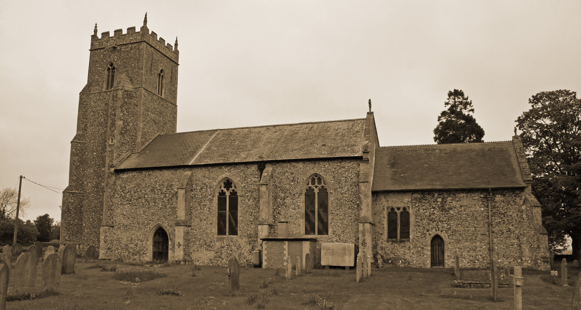
Two large areas of common land, and several smaller pieces, remained in Tharston until the inclosure of the parish in 1804. Tharston High Common (also called the Great Green) was a roughly triangular area of open land extending south from a line between Highfields and the north end of Chequers Lane, to Blyth's Green and Flowerpot Lane in Long Stratton. The boundaries of this large area can be seen by the positions of older houses, such as Picton Farm, The Poplars, The Chequers, Spreading Oak Farm and Hill Farm, which were built along the edges of the open land, as were the old clay-lump cottages which formerly stood at Highfields and on the Stratton side of Chequers Lane. Tharston Low Common extended south from the river, over the low meadows east of Park's Lane and on either side of the stream which runs down from the bridge in Brand's Lane. The eastern edge of the common was the high earth bank, which appears to be partly natural and partly artificial, forming the boundary (one might almost say frontier) with Stratton St Michael. A third area of common land, called the "Alder Common", approached from the village by Wood Lane, was on the grazing marshes beside what was called in 1804 the "Nelland River"; and a fourth, small common called 'Church Green" occupied land to the north and west of the church. A part of Blythes Green was in Tharston, and the ghost of 13th-century clearings on either side of the Fomcett Road survived as the "Long Drove". The tiny triangular piece of grassland outside the church gate, and the small piece at the top of Chequers Lane are the only unfenced remnants of once extensive common land. The Highway accounts show that in the 18th century the roads passing across the commons were gated, to prevent cattle from straying too far; and there are frequent references to keeping the watercourses which drained the grassland in good repair.
(c) Barbara Cattermole and family, first published in 1993 by Paul Cattermole. No part of this publication may be reproduced, stored in a retrieval system, or transmitted in any form, or by any means, without the prior consent of the author's family.

Page lasted updated: 11 February 2019

